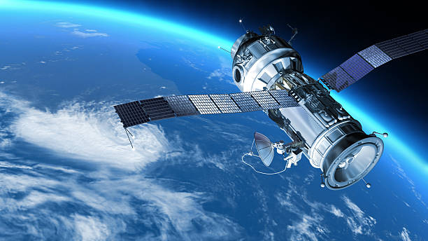
According to the government, Uganda will launch its first satellite, PearlAfricaSat-1, in August this year, using technology created by three Ugandan engineers and their Japanese counterparts.
The satellite, according to the government, would improve the accuracy of weather and disaster predictions, allowing farmers to increase production, improve food security, and reduce unnecessary deaths.
Mr. Edgar Mujuni, Mr. Bonny Omara, and Mr. Derrick Tebusweke, the satellite’s developers, turned over the technology to the Japan Aerospace Exploration Agency (JAXA) yesterday for final testing and approval before the launch.

The Joint Global Multi-Nation Birds Satellite Project is the source of this innovation. President Museveni directed the establishment of a National Space Agency and Institute, which began in October 2019.
The development came after Uganda signed a partnership with Japan’s Kyushu Institute of Technology (Kyutech) to train three graduate engineers to design, manufacture, test, and launch Uganda’s first satellite.
Dr. Monica Musenero, Uganda’s Minister for Science, Technology, and Innovation told journalists and government officials in Kampala yesterday that Uganda has been dependent on satellites from other countries.
“We didn’t have our own. With this technology, we are creating new careers, and new jobs and we are opening up a space for new businesses. The launch means we will have a better prediction for our weather or disaster,” she said.
“How many times have you left home then around 2 pm there is a downpour and floods, and you are caught in town because you didn’t have information that it was going to rain? This is a backward way of living. Many people plant their crops and they are taken by surprise that in the middle, there is drought. Then we incur a lot of losses,” she added.
Dr. Musenero said the technology will also be used to predict epidemics such as foot and mouth disease, which affects livestock, early enough so that the animals can be vaccinated before it becomes a big problem.
“We will also predict plant pests like armyworm so that we can plan ahead of time. If we can detect a crack in the mountain early, we can save lives from deadly landslides,” she said.
Dr. Abubaker Waswa Matovu, a lecturer in the Department of Electrical and Computer Engineering, who teaches space science, on the other hand, said the technology will help people get essential information faster.
“We now have autonomous driving where the cars can interact autonomously without having to engage a human brain which could be a cause of the errors that result in accidents. This is an area that can be explored both with satellite technology and other technologies that are evolving. We have observed that there is a need for integration of functionality,” he said.
“Today we are talking about a huge satellite which has an integration of so many functionalities that we can all benefit from. We want to see how we can relay information to ordinary people much faster. So with the satellite, we can carry out send information without the ordinary person having to wait for a bulletin to know that there is a risk of landslide or there will be rainfall,” he added.


